Geographic information for the environment, climate change and EU integration (LAKI III)
financed by the Financial Mechanism of the European Economic Area (EEA) 2014-2021,
within the “Environment, Adaptation to Climate Change and Ecosystems” Program (RO – Mediu)
Working together for a green, competitive and inclusive Europe
Project description
Project name: LAKI III – Geographical information for the environment, climate change and EU integration
Program: RO Environment – Environment, Adaptation to Climate Change and Ecosystems Source of funding: Financial Mechanism of the European Economic Area (EEA) 2014-2021
Financing contract no. DAFE/124116/16.02.2021
Project value: the total value is 3,000,000 €, of which: 85% financing from non-refundable funds and 15% co-financing from the state budget
Project duration: 16.02.2021 – 30.04.2024
Project partners
Project promoter: National Agency for Cadastre and Land Registration (www.ancpi.ro)
Project Partners: Norwegian Mapping Authority (www.kartverket.no) and National Land Survey of Iceland (www.lmi.is)
National Contact Point: Ministry of European Funds-https://mfe.gov.ro/
Program Operator: Ministry of the Environment, Waters and Forests – Directorate for Accessing European Funds-https://www.mmediu.ro/
Objectives
General objective: Increasing the capacity of the National Agency for Cadastre and Land Registration to prepare geographic information in order to monitor the environment, climate change and the implementation of the EU Directive on the harmonization and exchange of geographic information, both at national and regional level international.
Specific objectives: Production of Digital Terrain Model (DTM) and Digital Surface Model (DSM) by aerial LiDAR scanning for an area of approx. 50,000 km2 – in area A (counties of Caraș-Severin, Gorj, Mehedinți, Dolj) and area B (counties of Suceava, Neamț, Bacău, Vrancea).
Advantages
- Providing a base map for risk monitoring and adaptation to climate change that will help protect citizens’ lives and property;
- Easy access and effective distribution of updated geographic data;
- Support for planning/design in order to develop the infrastructure;
- Creation of a cartographic model of the land and surfaces for environment and agriculture:
- Sustainable use of land and natural resources, 3D thematic interpretation and mapping;
- Prevention and mitigation of climate-related natural disasters, improvement of environmental protection;
- The development of precise territorial tools for the improvement and efficiency of the support activities necessary for the reception of cadastral and topography works.
Beneficiaries
The Digital Terrain Model (DTM) and Digital Surface Model (DSM), as well as the contour map generated by LIDAR scanning technology have major application for the benefit of several public authorities, as the main target group, (which are, also represented in the Romanian Council for the National Spatial Data Infrastructure – the INIS Council, established by the provisions of Government Ordinance No. 4/2010 on the establishment of the national infrastructure for spatial information in Romania and Government Decision No. 579/2016 on establishing the specific responsibilities of the authorities public and technical structures for the implementation of spatial data themes and the exchange of data and services), respectively:
– Ministry of Internal Affairs – General Inspectorate for Emergency Situations;
– Ministry of Environment, Waters and Forests;
– Ministry of Development, Public Works and Administration;
– Ministry of Agriculture and Rural Development;
– Ministry of Transport and Infrastructure;
– Ministry of Education;
– Ministry of Research, Innovation and Digitization;
– Ministry of National Defense;
– Ministry of Culture;
– County and local Urban Planning Departments;
– Local public administrations;
– National Institute of Statistics, scientific and research institutions.
Activities
– Production of Digital Terrain Model (DTM) and Digital Surface Model (DSM) by aerial LiDAR scanning technology for approx. 50,000 km2;
– Solution for safe storage and efficient distribution of terrain data;
– Capacity building, knowledge transfer and training;
– Publicity of the project and dissemination of information.
Results
Zone A ( Caraș-Severin, Gorj, Mehedinți, Dolj counties)
- Digital model of the terain
- Digital model of area
Zona B (Suceava, Neamț, Bacău, Vrancea counties)
- Digital model of the terain
- Digital model of area
Aplications
- Applications in the management and planning of water resources and associated natural risks such as floods and landslides;
- Applications in the management and planning of forest resources and associated natural disasters, such as forest fires and deforestation;
- Applications in urban planning, land use resource management and associated natural hazards such as earthquakes, drought/desertification;
- Applications in archaeological research and heritage management and protection;
- Applications in environmental protection;
- Applications in agriculture;
- Applications in transport infrastructure planning and design;
- Applications in communication network planning, etc.
News
Press releases and news from Romanian publications
19.03.2021:
22.03.2021:
27.01.2023:
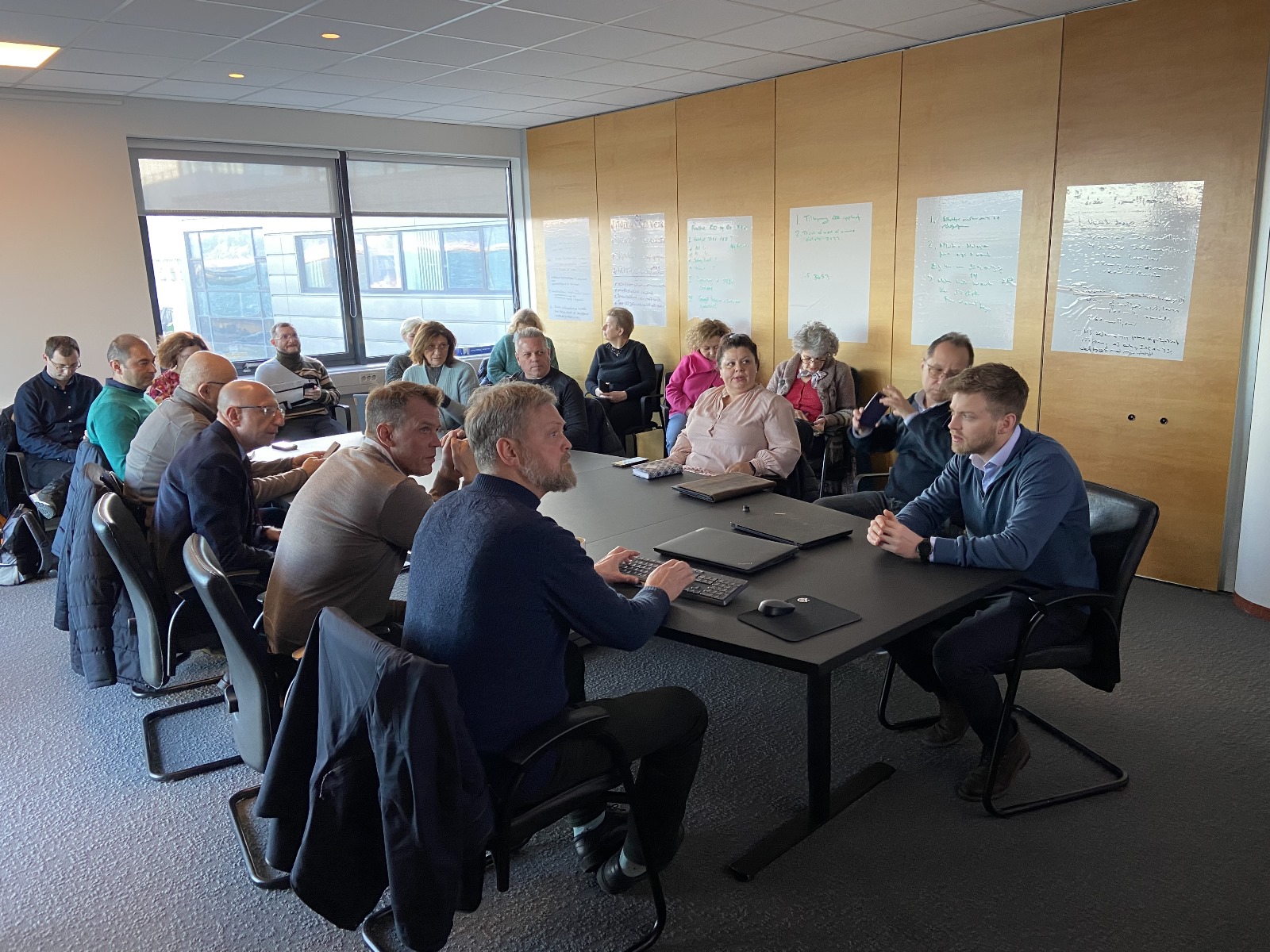
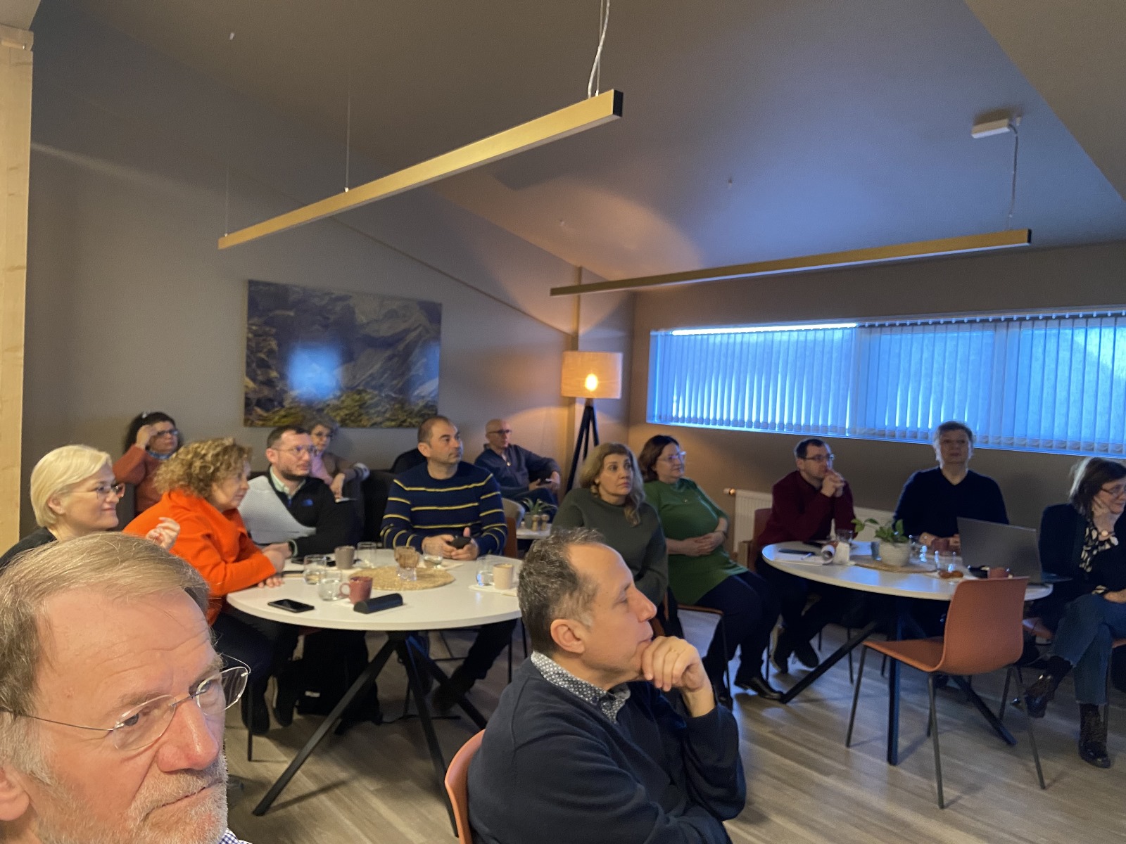
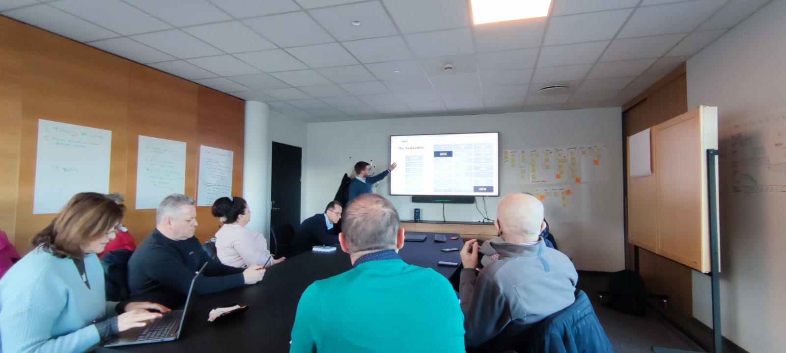
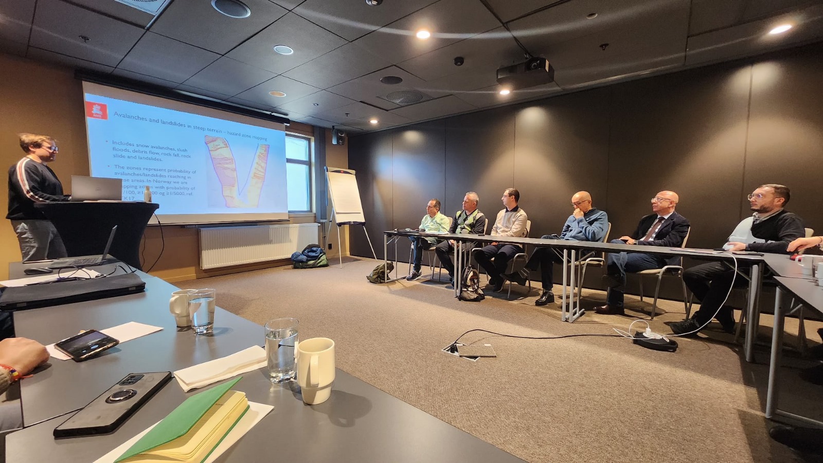
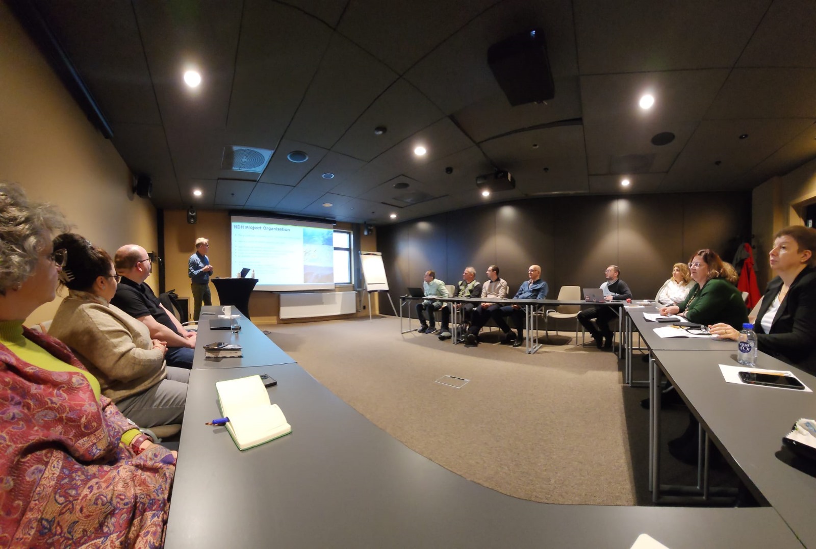
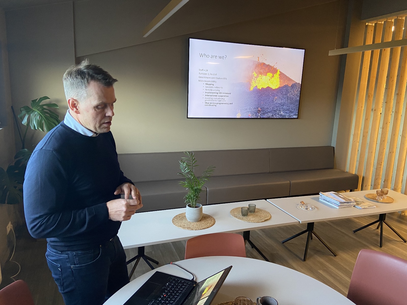
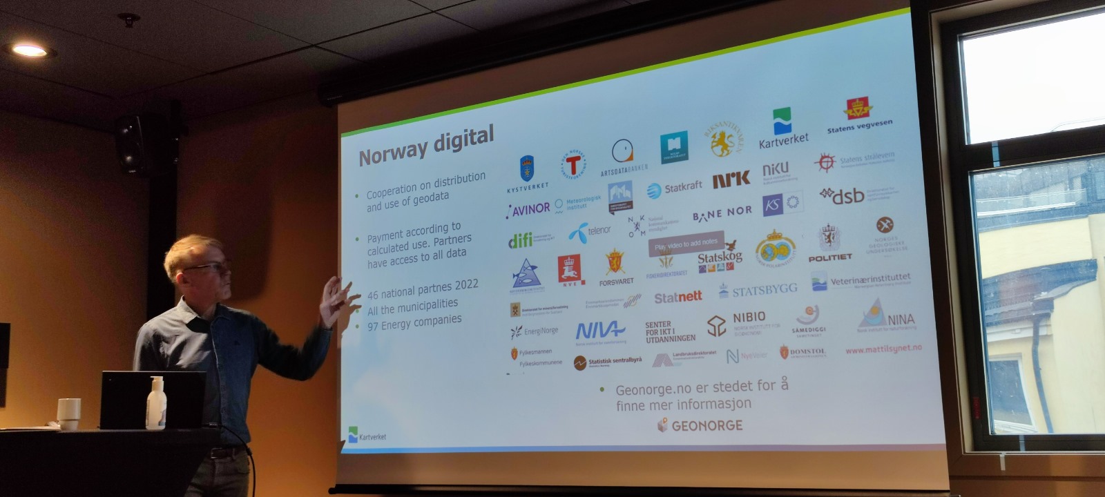
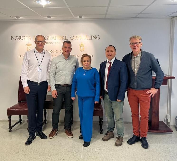
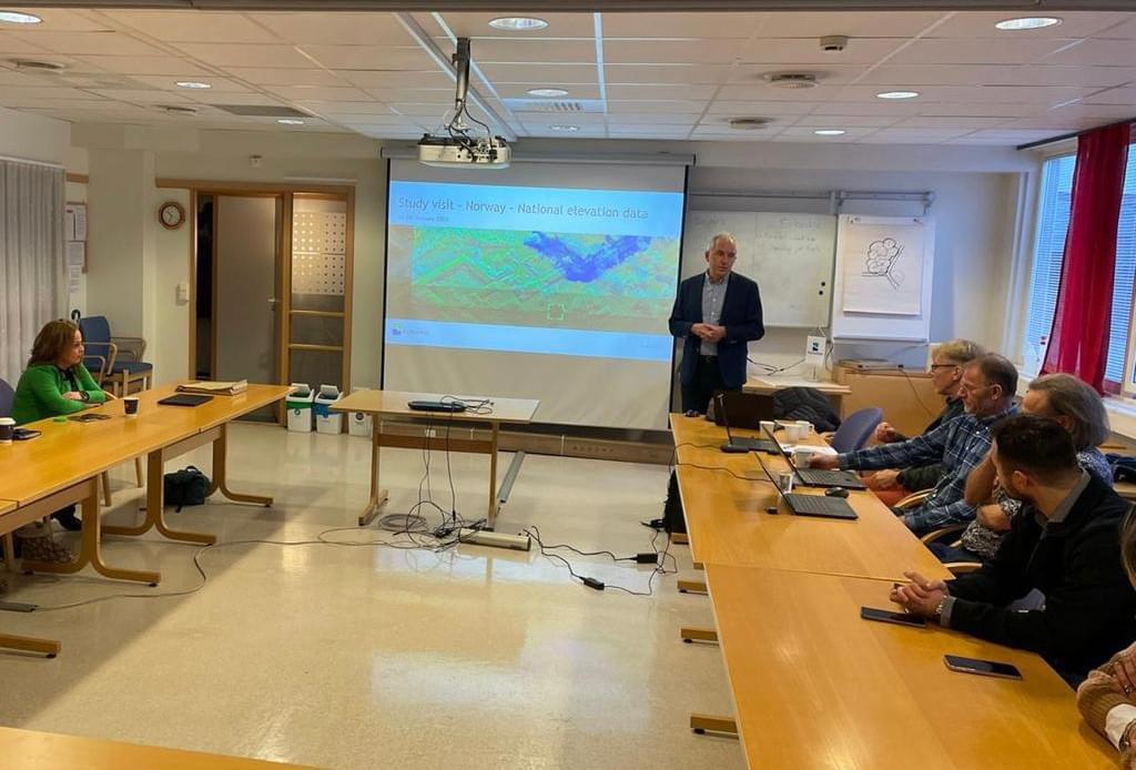
Photo gallery